DETROIT – The Detroit Region Aerotropolis is a four-community, two-county, public-private economic development partnership driving corporate expansion and new investment around Detroit Metro and Willow Run Airports.
The Aerotropolis is the premiere location for greenfield expansion in Southeast Michigan, offering 6,000 acres of development-ready land centered in a world-class network of transportation infrastructure. With two world class airports, access to three major interstates and five Class-A rail lines, the Detroit Region Aerotropolis is a prime location for global companies to build, expand, or develop.
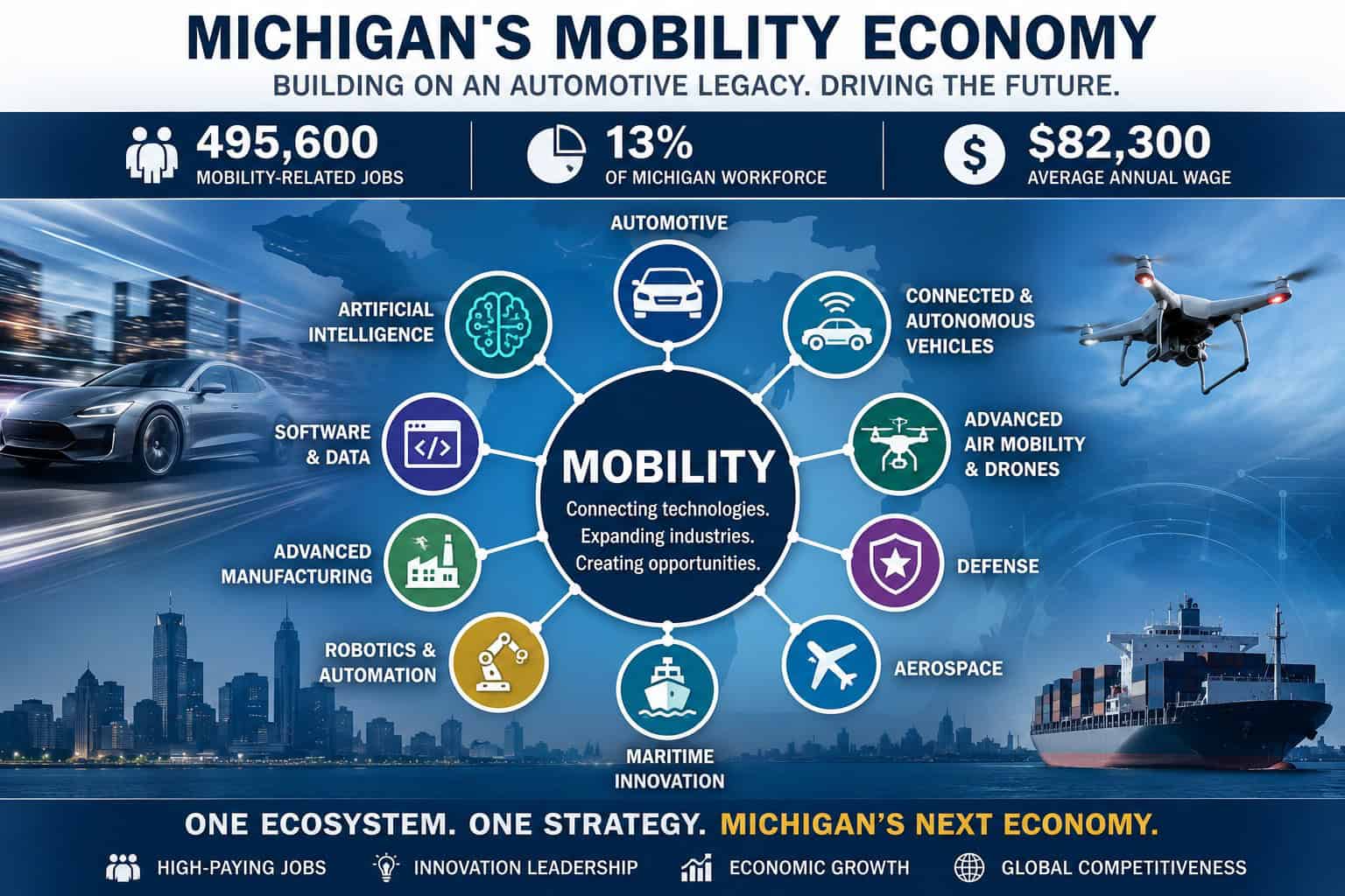
To stay competitive, the Aerotropolis region recently deployed the Airspace Link low altitude drone infrastructure to its local communities and airports to support the safe use of recreational and commercial drone use in the region. These capabilities provide a new type of Smart City mobility infrastructure supporting the growth of drone operations, drone service providers, drone manufacturing, package delivery and air taxi in the future.
Read the full case study here.
Case Study
Mobility has become as much about bits and bytes as it is about physical infrastructure. In smart cities, integrated mobility systems that include shared mobility services and autonomous vehicles, the Internet of Things, and advanced analytics enable people and goods to move faster, safer, cheaper and cleaner. Drones, also referred to as unmanned aircraft systems (UAS), encompass both the unmanned vehicle itself along with the ground-based controller and the system connecting the two.
Today, the uses and applications of UAS are increasing and diversifying. This expansion is enabled by technological advances, policy changes, and significant cost reduction in parts and manufacturing. In addition to recreational drone use, UAS and UAV are used across our Nation to support firefighting and search and rescue operations, to monitor and assess critical infrastructure, to provide disaster relief by transporting emergency medical supplies to remote locations and to aid efforts to secure our borders.
Overview
In late December 2018, Gatwick Airport suspended all flights due to drone activity. The drone disrupted pre-Christmas flights in and out of London’s Gatwick airport for 33 hours costing airlines an estimated $64.5 million. The reports caused major disruption, affecting approximately 140,000 passengers and 1,000 flights. This was a major wake-up call for airports and surrounding communities. Detroit Aerotropolis Region wanted to take action to better understand the risk of drones near the airport while supporting the growth of the industry.
The region is also seeking to promote economic growth and a high standard of living for its citizens by staying competitive and truly offering something that other communities can’t offer today. The Detroit Aerotropolis implemented a strategic plan to support the establishment of a low altitude drone infrastructure in its region.
Challenge
The challenge was how to integrate Federal Aviation Administration (FAA), local Air Traffic Control (ATC), state, local governments and the drone industry into one centralized and standardized system, to ensure the safest possible conditions for vehicles in the air and people on the ground. With the growth of drone activity, a new system of traffic control is needed in the skies above. Although entities, such as the FAA in the United States, have long had protocols for maximizing safety for manned aircraft, managing millions of drones in low altitude is a new challenge.
Result
The data will build a synergetic relationship by developing an automated system to inform operators about avoiding high risk areas and allow communities to understand the underlying demand of local commercial UAS activity.